Icons for the Axioma Geographic information system
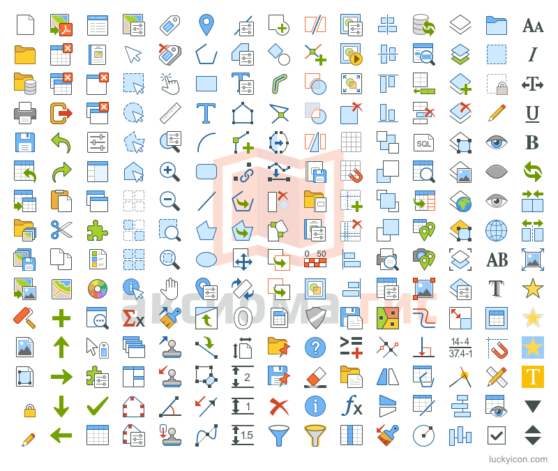
More than 230 original icons were drawn for the program Axioma.GIS.
Each icon is drawn in three sizes: 16х16, 24x24 и 32х32 pix.
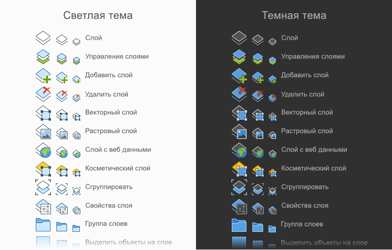
Separately prepared sets of icons for light and dark themes.
The final set of icons contains about 1400 files in PNG 32bit format.
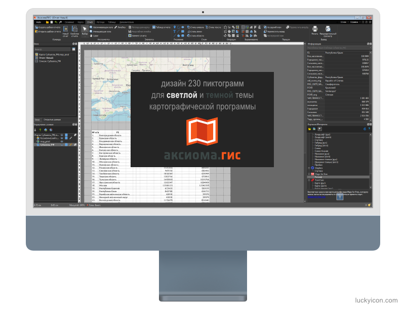 About Axioma.GISAxioma.GIS - a general-purpose geographic information system. Axioma.GIS allows to combine different formats of vector and raster spatial data in a single workflow together with access to remote databases and Web services.
Axioma.GIS has a complete tool set to view, create, edit, and analyze geospatial data. Features
- Create and modify map and semantic data
- Stylize maps including rich variety of symbols
- SQL-queries to local tables and external RDBMS
- Spatial analysis: spatial queries, overlay operations, buffers, etc.
- Customize thematic maps: ranges, bar and pie diagrams, graduated symbols, dot density, etc.
- Custom applications; enhance system functionality using Python programming language
- Over 300 cartographic projections
|
List of drawn icons for Axioma.GIS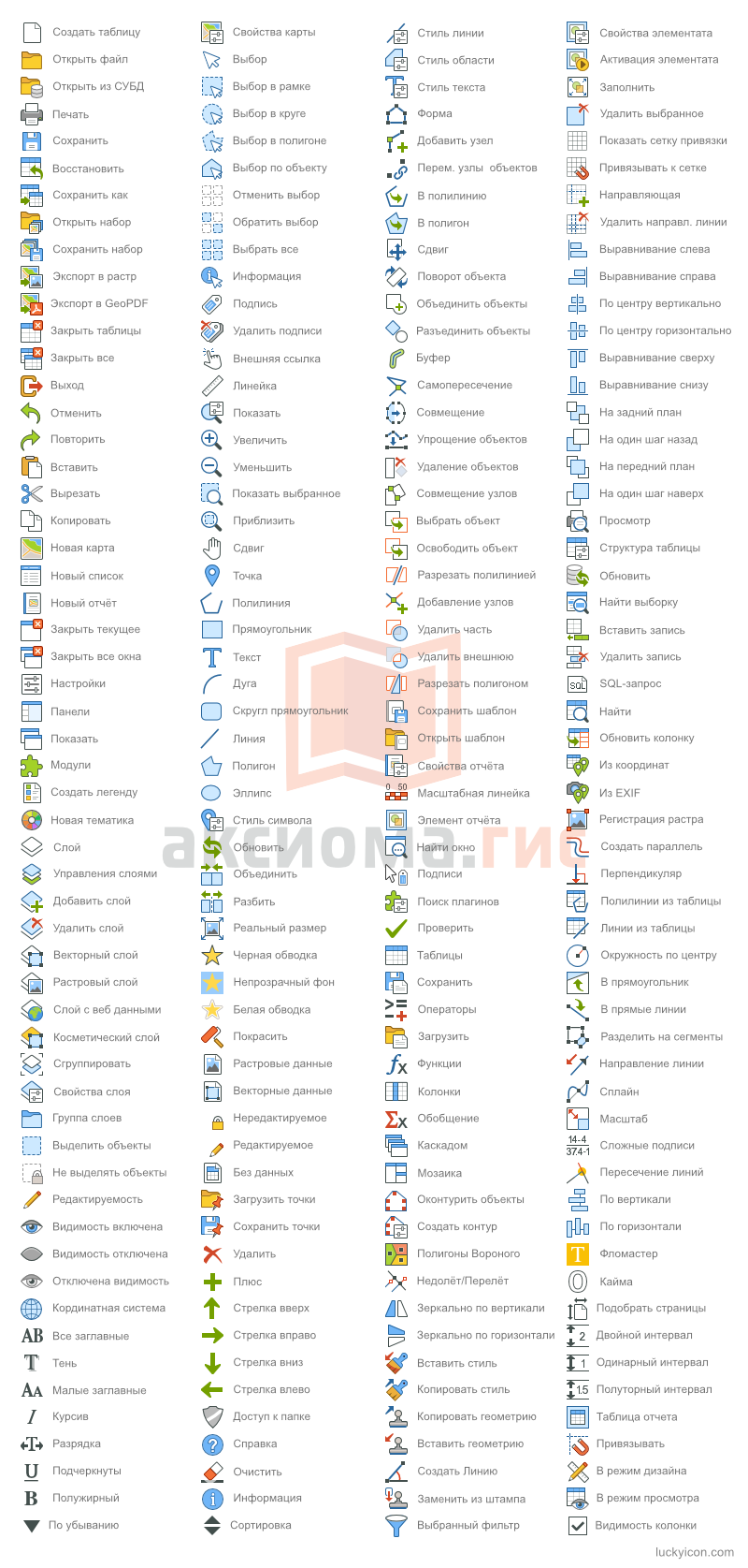
Example of icons for light and dark themes
Icons 32x32 px
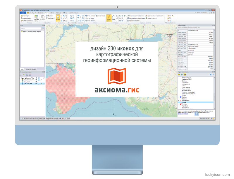
Example of a program interface in a light theme
 For more information about Axioma.GIS, see the site of ESTI LLC,
Warning! Graphic images herein are displayed for reference only.
You can't use them in your programs, but you can order the design of your own graphic images.
|